Bear Systems delivers enterprise-grade satellite intelligence — multi-source imagery enhanced to 75cm, physics-based analytics with a zero-hallucination guarantee, and continuous monitoring across 16 industries. Ten years of archive. Refresh cycles as fast as hourly. Any location on Earth.
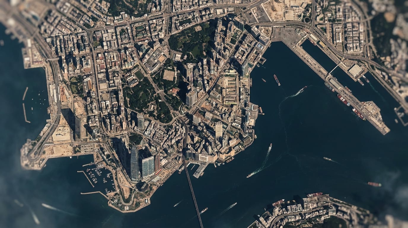 Refined Reality · 1m visualRefresh 2–5 daysArchive 2015 →Zero hallucinations · physics-based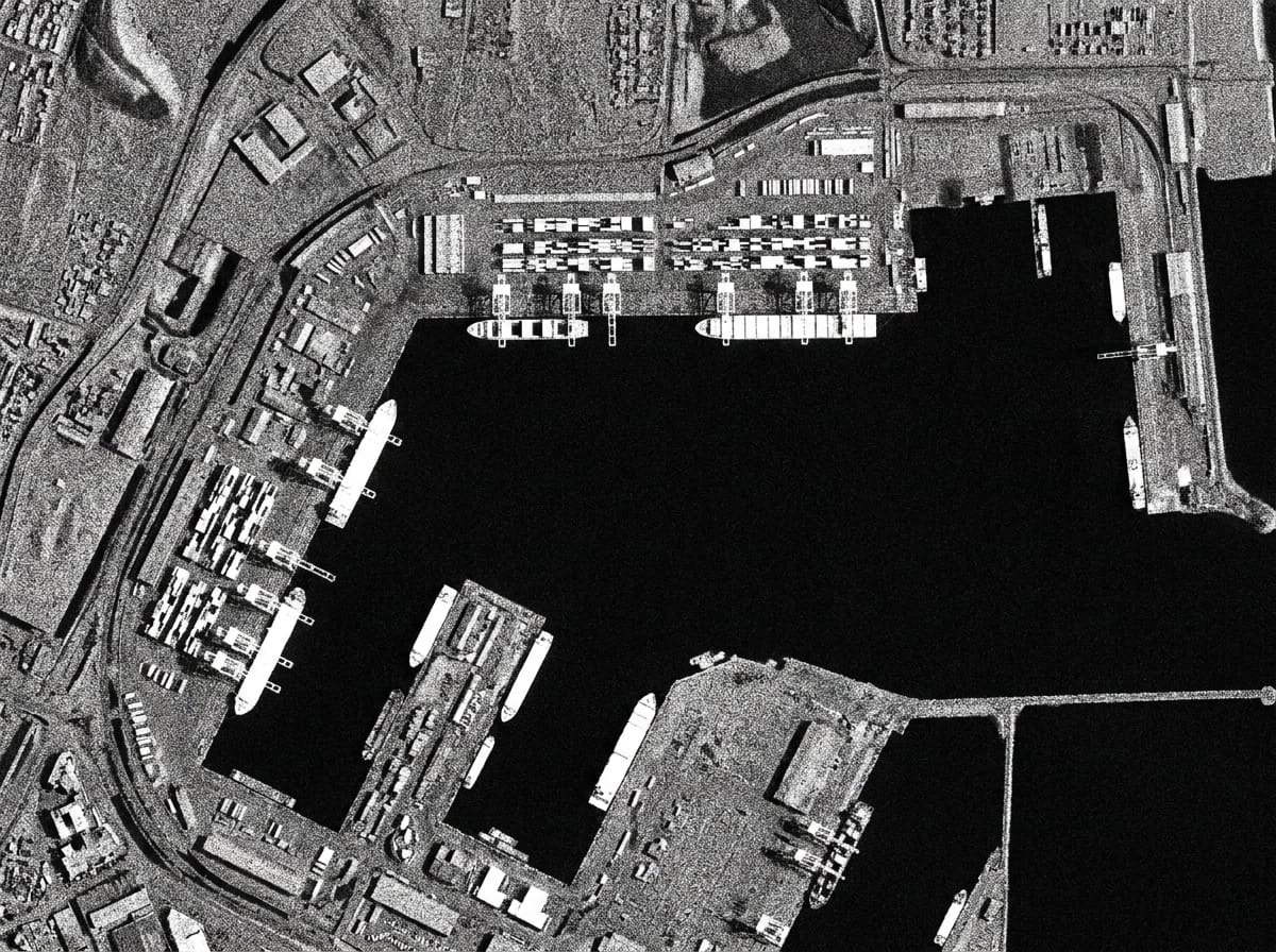
Flood Simulation
Simulate inundation from any water height at your area of interest, on an elevation model accurate to 0.5–1m vertically — then verify actual flood reach against 1m visual imagery. Proven from Miami to Jakarta.
- →Terrain-accurate reach modelling at any flood height
- →Drainage and low-lying area identification for planning
- →Post-event verification against 1m visual imagery
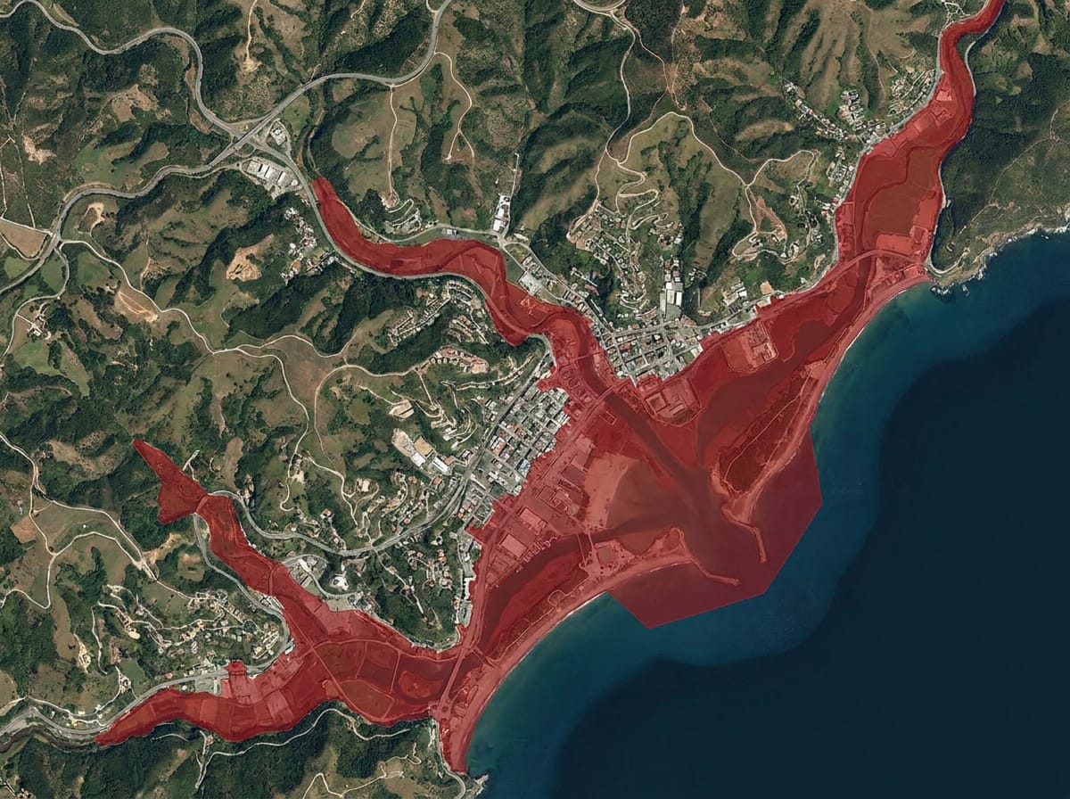 FLOOD EXTENT · +2.0M ASLBASEDEM · 0.5–1M VERTICAL
Early In-Field Anomalies
A universal signal for classic agricultural issues: each field is tracked against its own behaviour to flag stunted growth from pest and disease stress, or unexpected local growth like weeds — at 2m, every 2–5 days.
- →Pest, disease, and weed stress detected early at field level
- →Soil moisture and salinity indices down to irrigation lines
- →Grassland biomass in t/ha with 90%+ correct field ranking
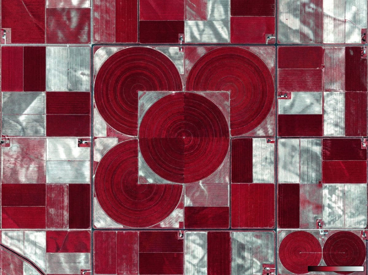 NDVI · 2M MULTISPECTRALREFRESH 2–5 DAYS
Mining Monitoring
Worldwide detection of new, retired, and active mining between any two dates — updated with every cloud-free capture, up to every 2.5 days. 100% accurate ground-truth identification across 7 mining types and 6 mineral groups.
- →New, retired, and still-active sites between any two dates
- →Pit, dump, and stockpile progression with volume estimates
- →Tailings dams, runoff, and encroachment under weekly watch
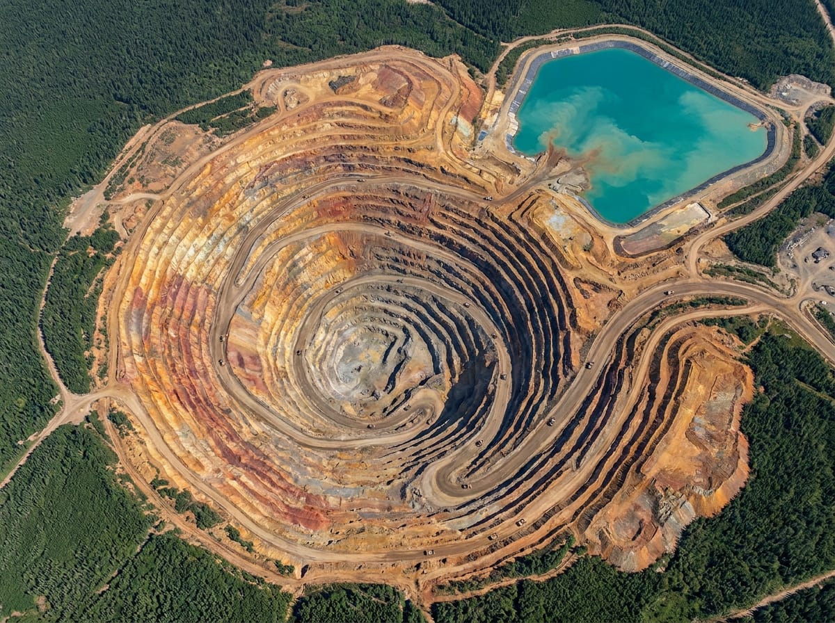 CHANGE CAPTURE · WEEKLYGROUND TRUTH · 100%
Defence & Intelligence
- Persistent area surveillance
- Base and facility monitoring
- Border and crossing activity
- Terrain and route planning
- Pre/post strike assessment
- Force deployment awareness
- Maritime and port activity
- Infrastructure vulnerability
- Population movement tracking
- Allied imagery sharing
- →1m Visual · 75cm Daily Visual
- →Enhanced Multispectral + indices
- →SAR 2m · Basemap 2.5m
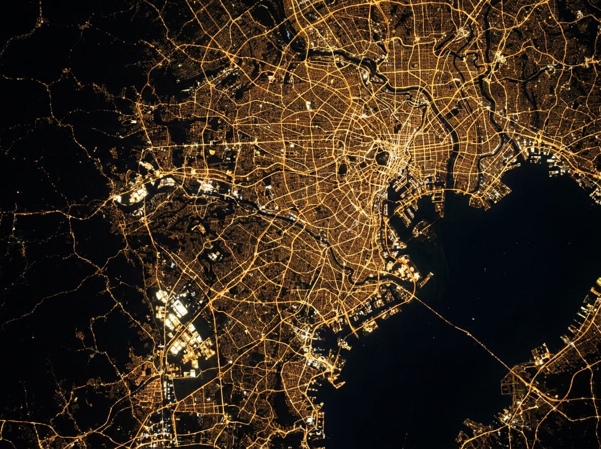
- →Nightlight · Aerial (20+ countries)
- →Elevation Map & 3D BaseDEM
- →Mineral Map surveys
- →Quarterly cloudless basemaps
- →Historical archive extracts (2015 →)
- →Water leak warnings
- →GLOF outburst monitoring
- →In-field crop anomalies
- →Mining change detection